
Frequently asked questions with answers
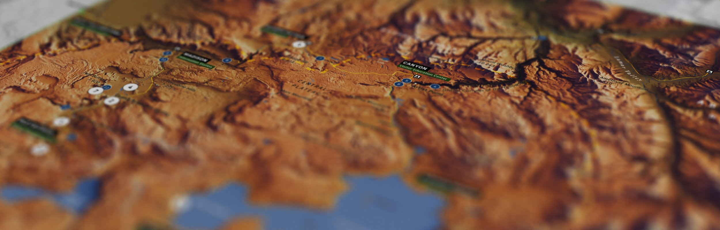
Are these really 3D maps or will you ever offer those?
All my prints are currently flat 2D prints. They are flat to touch. I’ve learned that to produce a really good quality 3D map, you need to invest in state of the art hardware and for the time being, it’s not an option.
Do you have a really powerful computer to make these?
Not at all. My workstation is a MacBook Pro from 2013. One of those old Intel Macs. Of course rendering in Blender takes a long time, but other than that, this computer can manage everything just fine.
What software do you use to create maps?
My software selection is minimal and affordable. I use QGIS, Blender, Photoshop and Affinity Designer 2. One can replace Photoshop with another free image editing software such as Gimp or Affinity Photo, which is quite affordable.
Where do you get the elevation data?
Opentopography.org and USGS are the main sources. Sometimes there are special cases that require special data but typically I try to get my data from free sources.
How about vector data?
A good resource is naturalearthdata.com. It has good amount of features, but sometimes it is too generalised for my use so I use a lot of OpenStreetMap data.
Do you print these yourself?
All my maps are printed by Printful Inc. Their customer service and the quality of prints are excellent and for the time being I’m not considering investing in a printer of my own. That can change in the future but right now I’m happy with Printful Inc.